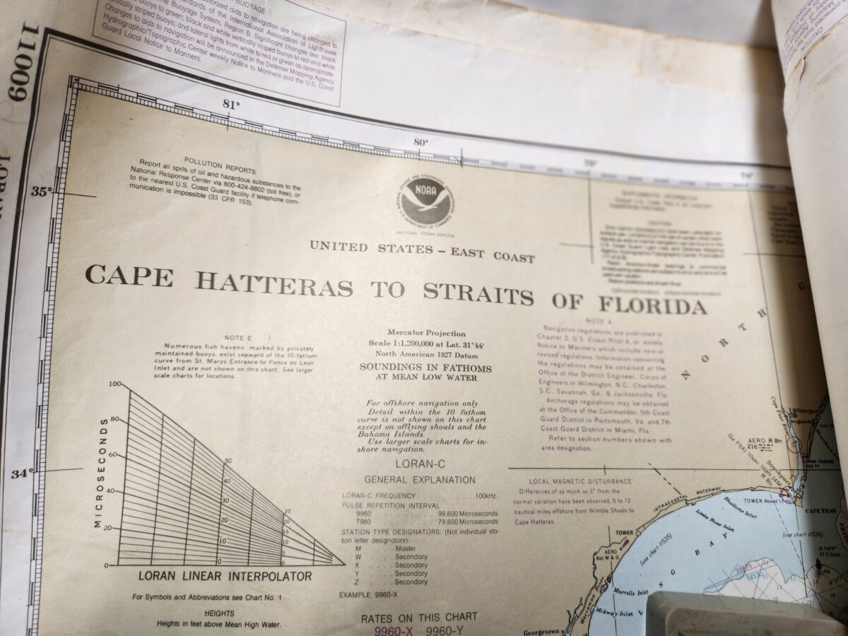
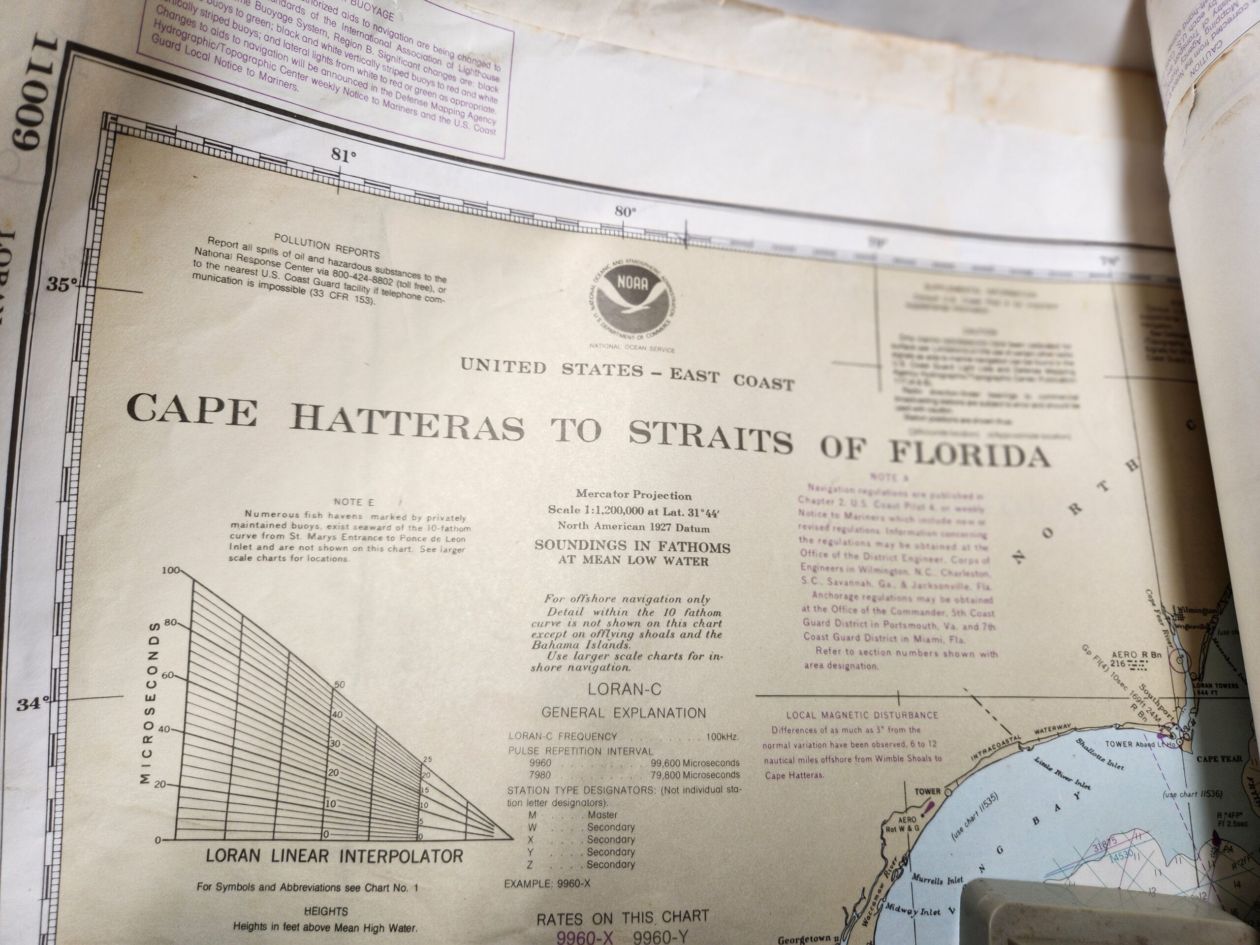
NOAA Nautical Charts of East Coast (roll of 22)
$50.00
Photo Gallery
|
NOAA Nautical Charts of East Coast (roll of 22)
Contact Owner
You must be logged in to inquire about this ad.
$50.00
|
|
Contact Owner
You must be logged in to inquire about this ad.
Comments